Overview of Slovenian Stages
The Alpe-Adria Trail ranks among Europe’s premier long-distance hikes, spanning 750 km from Austria’s glaciers to Italy’s Adriatic Sea. Its Slovenian section (Stages 22–27) delivers ~126 km of Julian Alps drama, emerald Soča River trails, and WWI history in Triglav National Park—perfect for multi-day adventures with solid infrastructure.
Stage 22: Faaker See/Baumgartnerhöhe – Kranjska Gora
This demanding stage crosses the border from Austria into Slovenia, traversing forests, ridges, and alpine terrain toward the Planica Valley with views of the Karawanks and Julians. It features steep climbs and descents, ending in the vibrant ski town of Kranjska Gora.
- Distance: 21.4 km
- Elevation Gain: 1,293 m
- Elevation Loss: 1,400 m
- Duration: 8:00 h
Stage 23: Kranjska Gora – Trenta
This stage begins in the alpine town of Kranjska Gora and climbs to the Vršič Pass, the highest mountain pass in Slovenia’s Julian Alps. Hikers are rewarded with panoramic views of jagged peaks and the pristine source of the Soča River.
- Distance: 20.5 km
- Elevation Gain: 918 m
- Elevation Loss: 1,108 m
- Duration: 8:00 h
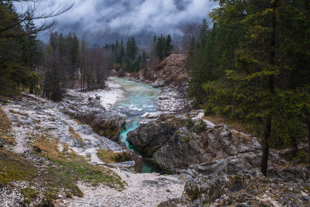
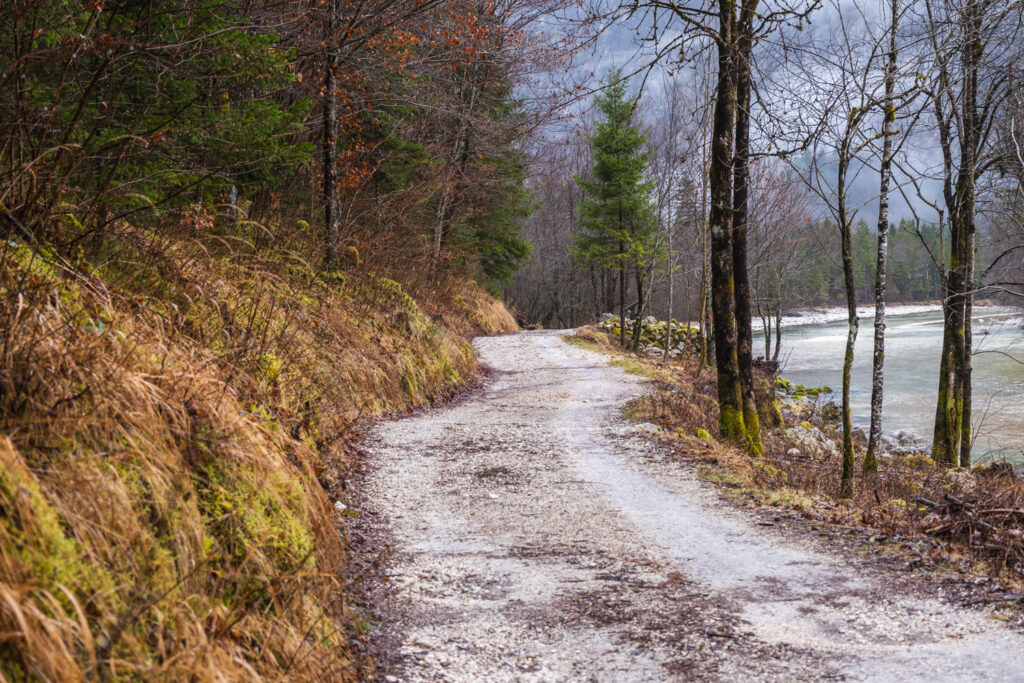
Stage 24: Trenta – Bovec
Following the famous Soča Trail, this route traces the emerald waters of the Soča River, crossing several sturdy hanging bridges and passing through lush forests and alpine meadows.
- Distance: 21 km
- Elevation Gain: 325 m
- Elevation Loss: 489 m
- Duration: 6:30 h
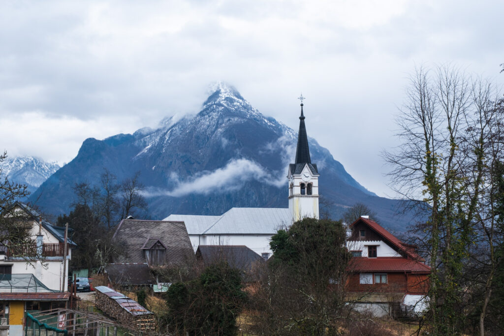
Stage 25: Bovec – Drežnica (Kobarid)
This picturesque stage runs mostly alongside the left bank of the Soča River before ascending to the charming village of Drežnica, near Kobarid. Highlights include the impressive Virje and Boka waterfalls.
- Distance: 22.3 km
- Elevation Gain: 410 m
- Elevation Loss: 336 m
- Duration: 7:15 h
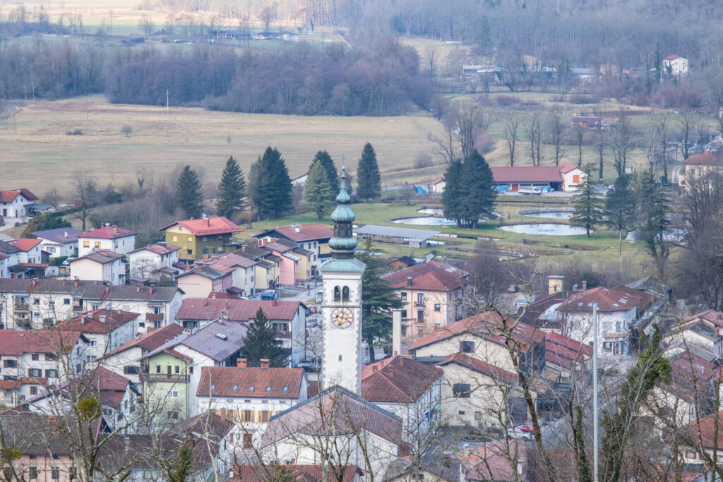
Stage 26: Drežnica – Tolmin
Steeped in history, this stage follows old military trails through alpine meadows inside the Triglav National Park. It descends once again to the Soča River and ends in the town of Tolmin, where hikers can explore natural attractions and local culture.
- Distance: 22.1 km
- Elevation Gain: 734 m
- Elevation Loss: 1,088 m
- Duration: 8:00 h
Stage 27: Tolmin – Tribil di Sopra (Stregna)
This “peace stage” crosses the border into Italy, leading past open-air museums, rolling hills, and historical landmarks that reflect the region’s turbulent past and rich heritage.
- Distance: 18.9 km
- Elevation Gain: 1,291 m
- Elevation Loss: 852 m
- Duration: 7:30 hours
Why Hike the Slovenian Sections?
The Slovenian stretches of the Alpe-Adria Trail combine moderate to demanding hikes with stunning natural vistas. The route showcases the best of the Julian Alps and the Soča Valley, offering hikers unique opportunities for wildlife observation, cultural encounters, and outdoor adventure in an unspoiled environment.
On average, each stage is around 20 kilometers long and takes about six to eight hours to complete, making it possible to enjoy a well-paced multi-day hike through some of Europe’s most diverse and beautiful landscapes.
Planning Your Journey
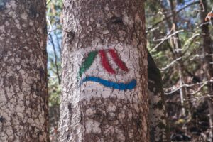
The trail is well-marked and supported by a network of mountain huts, guesthouses, and small towns, allowing for comfortable overnight stays. Hikers planning multi-day tours in Slovenia on the Alpe-Adria Trail will find excellent infrastructure combined with authentic local hospitality and regional cuisine.
Embrace this exceptional hiking experience that leads you through rugged mountain passes, serene river valleys, and historical sites — all connected through Slovenia’s spectacular natural beauty.